Geographical Information Systems (GIS) are computer-based systems that enable users to collect, store, process, analyze and present spatial data. It provides an electronic representation of information, called spatial data, about the Earth's natural and man-made features. A GIS references these real-world spatial data elements to a coordinate system.
These features can be separated into different layers. GIS market has resulted in lower costs and continual improvements in the hardware and software components of GIS. These developments will, in turn, result in a much wider application of the technology throughout government, business, and industry. T
he advances in computer hardware, software and remote sensing technology will lead to more and more GIS adopting multimedia to represent data.
The outbreak of the 2020 novel coronavirus disease (COVID-19) has impacted the geographic information systems market, as these system have played an important role in many aspects.
This includes rapid aggregation of multi-source big data, rapid visualization of epidemic information, spatial tracking of confirmed cases, prediction of regional transmission, spatial segmentation of the epidemic risk, which provided solid spatial information support for COVID-19 prevention and control decision-making.
Historically, the market for geographic information systems has grown by almost 12% globally in the past 5 years. In 2019, the total value of geographic information system is estimated to be nearly US$ 6.0 Bn globally.
The market for GIS is projected to grow, as it has a data-driven system for rapid knowledge acquisition, which signifies that GIS systems are used to reinforce the social operation parameterization of models and methods, especially when providing support for social management.
Smart cities are data-driven and dependent on sharing real-time awareness. GIS creates visualization of the data collected from various IoT devices and sensors, on a map for immediate actionable insights.
These insights can be used to track the delivery of city services and highlight areas where local council services need improvement. Location-based analysis of IoT data has also been used by local government to develop smarter parks, improve safety, and drive innovation.
While developing smart cities project, the GIS solutions are implemented to create generalized location enabled platform for use-cases analysis in smart cities environments. These benefits of GIS are driving the growth of the GIS software market.
GIS is a robust information system that supports a diverse set of analytic capabilities, workflows, and applications. GIS technologies gives companies to look at their facilities across all scales using the same data and software, allowing them to analyze dependencies, decrease costs, make better decisions, and improve performance management.
GIS supports from site selection to space planning & maintenance, lease property management & usage, safety issues, and continuity planning. In addition, integration of GIS in facilities management is useful for asset management and maintenance, space usage, 3D visualizations, disaster, and business continuity planning. GIS proves to be an effective tool to manage facilities, resulting into time saving and reducing significant cost.
Thus, there is an increase in the demand for GIS solutions for facilities management, which significantly drives the growth of the global geographic information system market.
The data collected and stored in GIS system is usually complex with plenty of upgradation and restructuring required. This means that special skills are required to understand and interpret the data collected in a GIS system.
In addition, a GIS system has complex interconnection of the various components that make up a GIS system. Besides the hardware and the software, there is need to have a fully trained human personnel that is expensive to train and acquire. Hence, the data complexity and expensive geographic information system imposes a great challenge in the market growth.
Key players in the geographic information system market are focusing on product expansion and business collaboration with the technology vendors to collaborate for offering remote sensing software and robotic total stations for sustained business growth.
The major players offering geographic information systems include
The report is a compilation of first-hand information, qualitative and quantitative assessment by industry analysts, inputs from industry experts and industry participants across the value chain of the global geographic information system market.
The report provides an in-depth analysis of parent market trends, macroeconomic indicators and governing factors along with geographic information system market attractiveness as per segments. The report on geographic information system market also maps the qualitative impact of various factors on geographic information system market segments and geographies.
By Offering, Geographic Information System Market is segmented into
By Industry, Geographic Information System Market is segmented into
Our Research Products

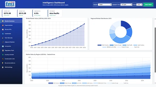
The "Full Research Suite" delivers actionable market intel, deep dives on markets or technologies, so clients act faster, cut risk, and unlock growth.

The Leaderboard benchmarks and ranks top vendors, classifying them as Established Leaders, Leading Challengers, or Disruptors & Challengers.

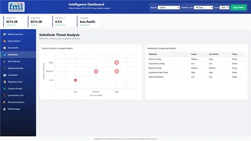
Locates where complements amplify value and substitutes erode it, forecasting net impact by horizon

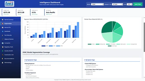
We deliver granular, decision-grade intel: market sizing, 5-year forecasts, pricing, adoption, usage, revenue, and operational KPIs—plus competitor tracking, regulation, and value chains—across 60 countries broadly.

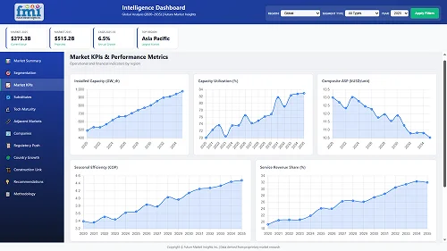
Spot the shifts before they hit your P&L. We track inflection points, adoption curves, pricing moves, and ecosystem plays to show where demand is heading, why it is changing, and what to do next across high-growth markets and disruptive tech

Real-time reads of user behavior. We track shifting priorities, perceptions of today’s and next-gen services, and provider experience, then pace how fast tech moves from trial to adoption, blending buyer, consumer, and channel inputs with social signals (#WhySwitch, #UX).

Partner with our analyst team to build a custom report designed around your business priorities. From analysing market trends to assessing competitors or crafting bespoke datasets, we tailor insights to your needs.
Supplier Intelligence
Discovery & Profiling
Capacity & Footprint
Performance & Risk
Compliance & Governance
Commercial Readiness
Who Supplies Whom
Scorecards & Shortlists
Playbooks & Docs
Category Intelligence
Definition & Scope
Demand & Use Cases
Cost Drivers
Market Structure
Supply Chain Map
Trade & Policy
Operating Norms
Deliverables
Buyer Intelligence
Account Basics
Spend & Scope
Procurement Model
Vendor Requirements
Terms & Policies
Entry Strategy
Pain Points & Triggers
Outputs
Pricing Analysis
Benchmarks
Trends
Should-Cost
Indexation
Landed Cost
Commercial Terms
Deliverables
Brand Analysis
Positioning & Value Prop
Share & Presence
Customer Evidence
Go-to-Market
Digital & Reputation
Compliance & Trust
KPIs & Gaps
Outputs
Full Research Suite comprises of:
Market outlook & trends analysis
Interviews & case studies
Strategic recommendations
Vendor profiles & capabilities analysis
5-year forecasts
8 regions and 60+ country-level data splits
Market segment data splits
12 months of continuous data updates
DELIVERED AS:
PDF EXCEL ONLINE
Information Security Consulting Market
Flight Information Display System Market Size and Share Forecast Outlook 2025 to 2035
Weather Information Technology Market Analysis - Growth & Forecast through 2034
Product Information Management Market Growth – Trends & Forecast 2024-2034
Student Information System Market
Airport Information Display System Market
Building Information Modeling Market Size and Share Forecast Outlook 2025 to 2035
Building Information Management (BIM) Market Analysis – Trends & Forecast 2024-2034
Security Information and Event Management Software Market
Oncology Information Systems Market Analysis - Trends & Forecast 2025 to 2035
Clinical Information System Market Analysis - Growth & Forecast 2024 to 2034
Hospital Information System Market
Radiology Information System RIS Market Size and Share Forecast Outlook 2025 to 2035
Regulatory Information Management Market Size and Forecast Outlook 2025 to 2035
Enterprise Information Archiving (EIA) Market Size and Share Forecast Outlook 2025 to 2035
Laboratory Information System Market Forecast and Outlook 2025 to 2035
Cardiology Information System Market Size and Share Forecast Outlook 2025 to 2035
Critical Care Information Systems Market
Physical Security Information Management (PSIM) Market Size and Share Forecast Outlook 2025 to 2035
Intelligent Touch Screen Cash Register Market Size and Share Forecast Outlook 2025 to 2035

Thank you!
You will receive an email from our Business Development Manager. Please be sure to check your SPAM/JUNK folder too.
Chat With
MaRIA